What Home Buyers Need to Know About Hurricane Evacuation Zones in Charleston
What Home Buyers Need to Know About Hurricane Evacuation Zones in Charleston
Before you close on a home in the Charleston area, you need to know one number: your hurricane evacuation zone. This is not a detail to check after you move in — it shapes your insurance costs, your family's safety plan, and how quickly you need to leave when a storm threatens. Leah Beaulieu and BJ Rodgers with Coast2Coast Properties walk every buyer through this question because it affects the decision in ways most people don't anticipate until it's too late.
The Short Answer
- Charleston County uses lettered evacuation zones: Zone A, Zone B, and Zone C — A is highest risk and goes first
- Zone A includes barrier islands, peninsulas, and low-lying coastal areas with the greatest storm surge exposure
- Zone B covers much of the urban core, including parts of downtown Charleston, Daniel Island, and North Charleston
- Zone C extends further inland and typically evacuates only in major storms
- You can look up any address for free at hurricane.sc or the SCEMD app
- Zone placement affects flood insurance requirements, how early you evacuate, and — indirectly — resale value and buyer pool
- Being in Zone A does not mean the area is undesirable, but it does mean you need a clear plan
What Are Hurricane Evacuation Zones in Charleston?
Charleston County and the South Carolina Emergency Management Division (SCEMD) divide the coastal region into lettered zones based on storm surge vulnerability — how far and how deep floodwater is projected to reach when a hurricane makes landfall nearby. The zones are not the same as FEMA flood zones (those govern insurance and building codes). Evacuation zones exist specifically to tell you when and whether to leave.
Zone A is the most vulnerable. It includes areas west of the Ashley River in unincorporated Charleston County, the City of Folly Beach, Kiawah Island, parts of James Island 29412, Johns Island 29455, and the lower-lying portions of the barrier islands. If a Category 1 hurricane is forecast to hit within striking distance, Zone A residents are typically ordered to evacuate first — sometimes 48 to 72 hours before landfall.
Zone B covers a broader swath of the metropolitan area: from the tip of the Charleston peninsula north to Ladson Road, and from the Ashley River east to the Wando River. This includes most of the City of Charleston, the City of North Charleston 29405/29406, and Daniel Island 29492. Zone B is usually ordered to evacuate when the storm strengthens to Category 2 or higher, or when storm surge models show significant inland reach.
Zone C encompasses areas east of the Wando River, from the Atlantic Ocean to the Berkeley County line, including parts of Mount Pleasant 29464/29466 and unincorporated areas toward the coast. Zone C may be ordered to evacuate only in the most severe storms, or may simply require residents to shelter in place.
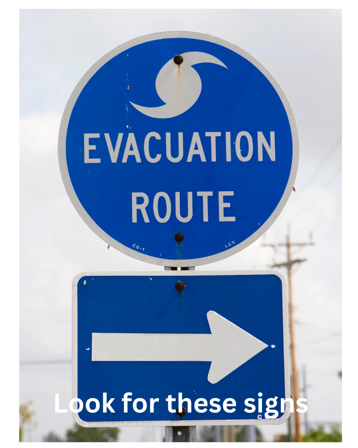
How Do I Find My Evacuation Zone?
The fastest and most reliable method is the official South Carolina Hurricane Guide at hurricane.sc. Enter your address, and the tool returns your assigned zone immediately. The free SCEMD app does the same thing and works on mobile. Charleston County Emergency Management also publishes zone maps at charlestoncounty.gov.
Do this before you make an offer, not after closing. Your real estate agent can pull up the zone for any address in minutes, and Leah Beaulieu and BJ Rodgers routinely do this as part of neighborhood walkthroughs with buyers relocating to the area.
Does Your Zone Affect Insurance Costs?
Evacuation zones and FEMA flood zones overlap but are not the same thing. Zone A evacuation areas are often — but not always — in FEMA Special Flood Hazard Areas (AE or VE zones), which require flood insurance if you carry a federally backed mortgage. The distinction matters:
- Your evacuation zone tells emergency managers when to order you out of your home
- Your FEMA flood zone tells lenders whether flood insurance is required and what your premium will be
A home in Zone A can still be in FEMA flood zone X (low risk) if it sits on elevated ground. Conversely, a home in Zone B or C can be in an AE zone if it is near a creek, tidal waterway, or drainage basin. Always check both.
In practice, homes in Zone A — especially on barrier islands like Isle of Palms 29451, Sullivan's Island 29482, and Folly Beach 29439 — carry some of the highest insurance costs in the region. Annual flood insurance premiums in AE and VE zones for homes in these areas can run $3,000 to $8,000 or more depending on the structure's elevation and the policy type. Windstorm coverage in coastal areas adds additional cost. Get an insurance quote before you finalize your budget.
Which Charleston Neighborhoods Are in Which Zone?
Here is a general breakdown — always verify by address using hurricane.sc, as zone lines do not follow street grids neatly:
Typically Zone A:
- Folly Beach 29439
- Isle of Palms 29451
- Sullivan's Island 29482
- Kiawah Island and Seabrook Island
- Lower-lying portions of James Island 29412 near Folly Road and the marsh
- Rural and low-lying areas of Johns Island 29455 near the waterways
Typically Zone B:
- Downtown Charleston peninsula 29401 / 29403
- Much of North Charleston 29405 / 29406
- Daniel Island 29492
- Parts of West Ashley 29407
Typically Zone C or lower:
- Inland Mount Pleasant 29464 / 29466
- Parts of Summerville 29483 / 29485 / 29486
- Goose Creek 29445
- Hanahan 29410
This is not absolute. Within each ZIP code, individual streets and subdivisions can fall into different zones. A buyer in Mount Pleasant should not assume they are automatically in a low-risk zone — waterfront areas and low-lying sections near Shem Creek and the Wando River can carry Zone B or Zone A designations.
How Does Zone Placement Affect Resale?
Zone A homes sell for more because they are usually closer to water and the Lowcountry lifestyle buyers are paying for. But that premium comes with conditions: a narrower buyer pool (some buyers exclude Zone A entirely), higher ongoing insurance costs, and a mandatory evacuation routine during active storm seasons.
Zone B and Zone C properties tend to attract buyers who want proximity to the coast without the full exposure. The tradeoff is usually some lifestyle premium — a longer drive to the beach, a less dramatic view — in exchange for materially lower insurance costs and a faster, less urgent evacuation decision.
The Biggest Mistake Buyers Make With Evacuation Zones
The most common mistake is conflating "I am not in Zone A" with "I don't have to worry about hurricanes." Zone B properties on the Charleston peninsula — some of the most desirable real estate in South Carolina — still carry evacuation orders in Category 2 and stronger storms. The evacuation call is not just about storm surge. It also accounts for wind damage, flooding from rainfall, and power outages that can last days or weeks.
Buyers who dismiss zone status because they are "only in Zone B" are sometimes the same people who delay evacuating, because they did not mentally prepare for that scenario before they moved in. Leah Beaulieu and BJ Rodgers encourage every buyer to treat zone status as a lifestyle consideration, not just a paperwork detail. Know your zone. Know your route. Know where you are going before the season starts.
A Realistic Example
A couple relocating from Ohio narrowed their search to two properties: a waterfront home on James Island 29412 and a newer construction home in Hanahan 29410. Both were in the same price range. The James Island property was in Zone A, required flood insurance in an AE zone, and carried combined insurance costs of approximately $7,200 per year. The Hanahan property was in Zone C with no flood insurance requirement and total insurance costs under $2,800 per year. Neither home was "wrong" — but understanding the evacuation zone helped them make an honest comparison of the real cost difference and led them to a more informed decision.
So What Do Evacuation Zones Mean for Charleston Buyers?
- Zone A = highest storm surge risk, mandatory early evacuation, typically higher insurance costs
- Zone B = moderate risk, evacuates in Category 2+ storms, includes much of central Charleston
- Zone C = lower storm surge risk, evacuates in strongest events only
- Look up any address at hurricane.sc before making an offer
- Evacuation zone is separate from FEMA flood zone — check both
- Zone placement affects insurance cost, buyer pool, and long-term cost of ownership
FAQ: Hurricane Evacuation Zones in Charleston, SC
What is Zone A in Charleston hurricane evacuation?
Zone A is Charleston County's highest-risk designation for storm surge flooding. It includes barrier islands, coastal peninsulas, and low-lying waterfront areas that face the greatest threat from ocean water pushed inland by a hurricane. Residents in Zone A are ordered to evacuate first, typically 48–72 hours before a major storm makes landfall.
How do I look up my hurricane evacuation zone in South Carolina?
Visit hurricane.sc or download the free SCEMD mobile app. Enter your address and your evacuation zone is returned immediately. Charleston County also publishes zone maps through its Emergency Management Department at charlestoncounty.gov.
Is Mount Pleasant in a hurricane evacuation zone?
Most of Mount Pleasant 29464 and 29466 falls in Zone C, which is lower risk. However, waterfront areas near Shem Creek, Isle of Palms Connector, and the Wando River may fall into Zone B or even Zone A in specific spots. Always look up the exact address rather than assuming by ZIP code.
Does my evacuation zone affect my home insurance?
Indirectly, yes. Zone A properties are typically closer to the coast and more likely to be in FEMA flood zones that require flood insurance. Windstorm coverage is also commonly required or strongly recommended in coastal zones. The combination can add $3,000–$8,000+ per year to housing costs compared to inland Zone C properties.
Are there mandatory evacuations in Charleston?
Yes. The Governor of South Carolina, through the South Carolina Emergency Management Division and county emergency managers, has the authority to issue mandatory evacuation orders by zone. Zone A typically receives mandatory evacuation orders in any storm with significant surge potential. Zone B and C orders depend on storm strength and track.
Can I stay home if I am in Zone B during a hurricane?
Technically you can refuse to evacuate — mandatory orders are not enforced with criminal penalties in South Carolina — but emergency services will not be available once the storm makes landfall. If you are in Zone B and an order is issued, leaving is strongly recommended. Most locals who have been through a direct hit or near-miss follow evacuation orders without hesitation.
Does being in Zone A mean my neighborhood floods every storm?
No. Most hurricane seasons pass without a direct hit on Charleston, and many Zone A properties have never experienced significant flooding in their owners' lifetimes. Zone designation reflects the worst-case storm surge scenario for planning purposes, not a prediction of annual flooding. Locals in Zone A simply learn to track storms, prepare early, and evacuate when ordered.
How does evacuation zone compare to FEMA flood zone?
They serve different purposes. Evacuation zones are managed by emergency managers and tell you when to leave before a storm. FEMA flood zones are used by lenders and insurance companies to determine flood insurance requirements and premiums. A property can be in Zone A (high evacuation priority) but still in FEMA flood zone X (low flood insurance requirement) if it sits on elevated ground. Always check both when evaluating a property.
Final Answer
Your hurricane evacuation zone is one of the most practical pieces of information you can have before buying a home in the Charleston area. It shapes your insurance budget, your family's emergency plan, and your long-term relationship with the home during every storm season. Zone A means you leave first and often. Zone B means you leave in major storms. Zone C means you leave in the worst events. None of these designations should stop you from buying in Charleston — but all of them should inform how you prepare.
Leah Beaulieu and BJ Rodgers with Coast2Coast Properties look up evacuation zones and flood designations for every property they show. If you are weighing neighborhoods or specific addresses and want to understand the full risk and cost picture, reach out before you make an offer.
About Leah Beaulieu & BJ Rodgers — Coast2Coast Properties
Leah Beaulieu and BJ Rodgers are Charleston, South Carolina real estate professionals with Coast2Coast Properties, helping buyers compare neighborhoods, understand local market differences, and find the right fit across the Charleston area. Whether you are buying your first home, relocating to the Lowcountry, or looking for investment opportunities, Leah and BJ bring local knowledge, straight talk, and a genuine commitment to helping clients make smart decisions.
Coast2Coast Properties
www.coast2coastprop.com
843-697-1409 / 803-201-4259